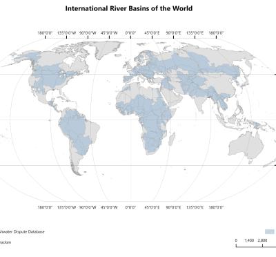
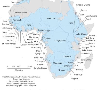
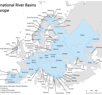
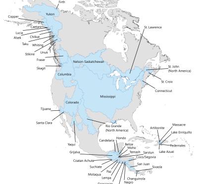
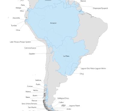
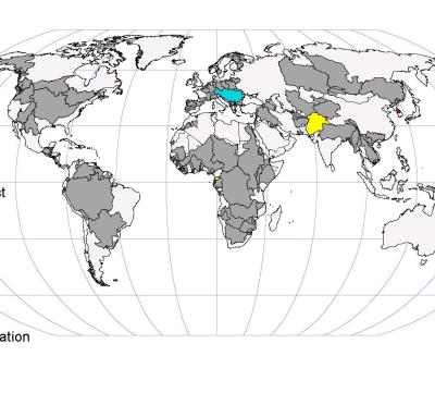
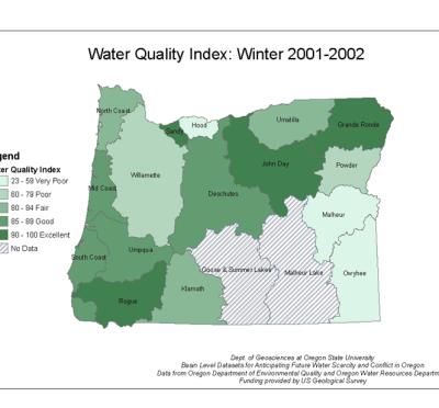
The galleries included here contain maps and images produced by the Transboundary Freshwater Dispute Database, faculty, graduate and undergraduate student researchers, and through projects associated with the Transboundary Freshwater Dispute Database.
We are currently developing and populating the galleries, check back soon for the full number of available maps and images.
Note About Data Use
Wide use of electronic and hardcopy versions of data, GIS coverages, and findings produced by the Transboundary Freshwater Dispute Database (TFDD) project is encouraged. The data, coverages, and findings are not copyrighted, although due credit is appreciated. Please attach this credit when citing TFDD products:
“Product of the Transboundary Freshwater Dispute Database, College of Earth, Ocean, and Atmospheric Sciences, Oregon State University. Additional information about the TFDD can be found at: https://transboundarywaters.oregonstate.edu.”
If the product is to be used on the web, a hot link to the above address would be appreciated. If you have questions regarding use of data or maps, please contact us.
